Warning signs tell you about a hazard ahead so you can slow down and prepare. Most are triangles with a red border and a black symbol on white. A plate underneath may give the distance to the hazard or how far it continues. Treat every warning sign as a cue to check your speed and position.
What does each warning sign mean?
Each sign is shown with its official meaning from the Department for Transport. Tap through to the quiz when you’re ready to test yourself.
-
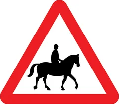
Accompanied horses or ponies likely to be in or crossing road ahead -
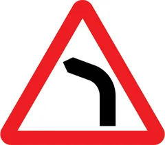
Bend ahead to the left -
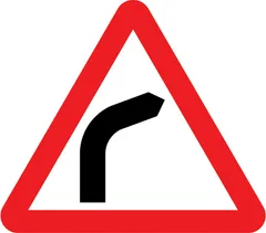
Bend ahead to the right -
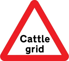
Cattle grid ahead -
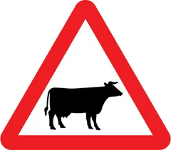
Cattle likely to be in road ahead -
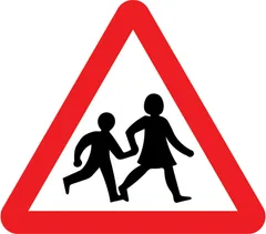
Children going to or from school or playground ahead -
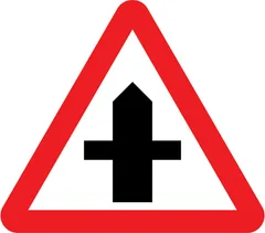
Crossroads ahead -
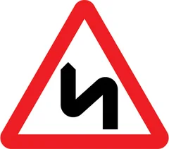
Double bend or series of bends ahead, first to the left -
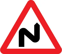
Double bend or series of bends ahead, first to the right -
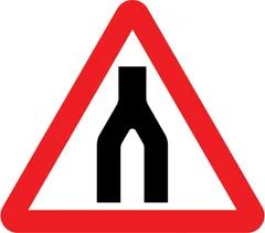
Dual carriageway ends ahead -
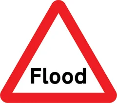
Flood warning sign -
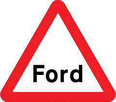
Ford warning sign -
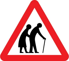
Frail or disabled pedestrians likely to cross road ahead -
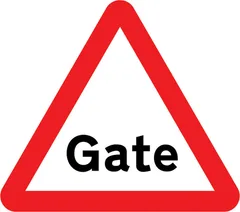
Gate warning sign -
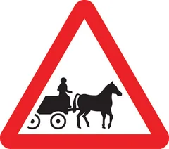
Horse drawn vehicles likely to be in road ahead -
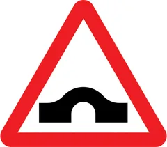
Hump bridge ahead -
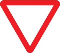
Junction ahead controlled by a STOP or GIVE WAY sign -
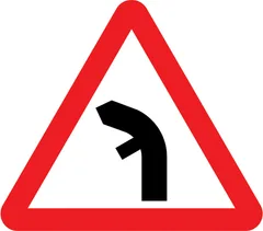
Junction on left bend ahead -
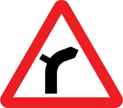
Junction on right bend ahead -
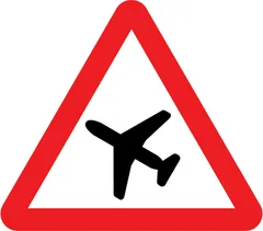
Low flying aircraft or sudden aircraft noise likely ahead -
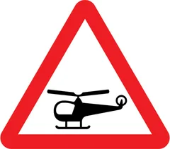
Low flying helicopters or sudden helicopter noise likely ahead -
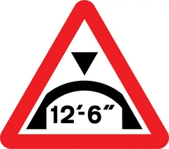
Maximum headroom of 12'-6'' at arch bridge ahead -
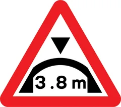
Maximum headroom of 3.8m at arch bridge ahead -
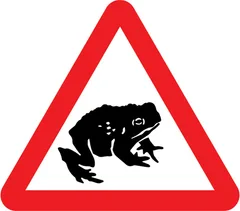
Migratory toad crossing ahead -
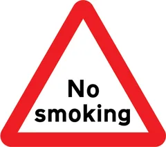
No smoking warning -
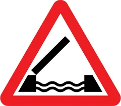
Opening or swing bridge ahead -
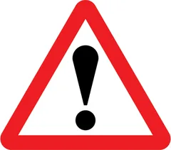
Other danger ahead. Plate beneath indicates the nature of the hazard -
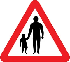
Pedestrians in road ahead -
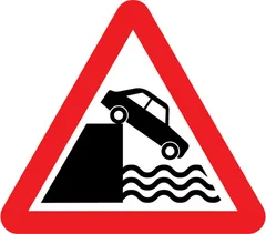
Quayside or river bank ahead -
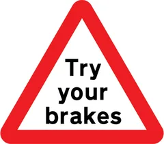
Risk of brake failure after crossing a ford or before descending a steep gradient -
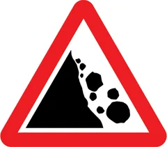
Risk of falling or fallen rocks ahead -
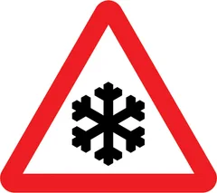
Risk of ice or packed snow ahead -
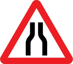
Road narrows on both sides ahead -
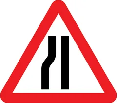
Road narrows on left ahead -
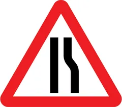
Road narrows on right ahead -
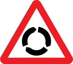
Roundabout -
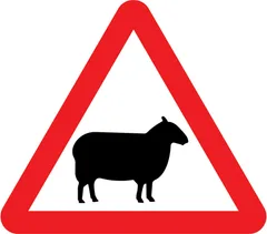
Sheep likely to be in road ahead -
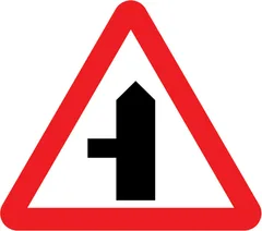
Side road ahead (left) -
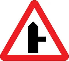
Side road ahead (right) -
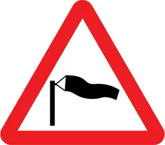
Side winds likely ahead -
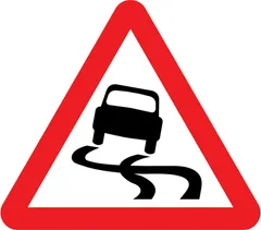
Slippery road ahead -
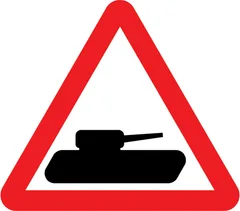
Slow moving military vehicles likely to be crossing or in the road -
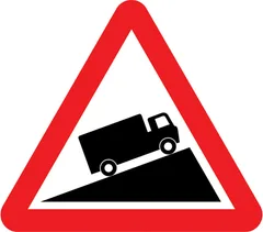
Slow moving vehicles likely on incline ahead -
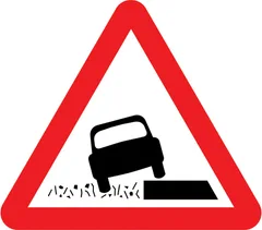
Soft verges ahead -
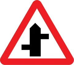
Staggered junction ahead (left/right) -
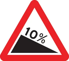
Steep hill downwards ahead (10%) -
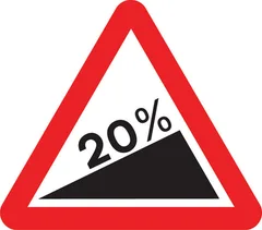
Steep hill upwards ahead (20%) -
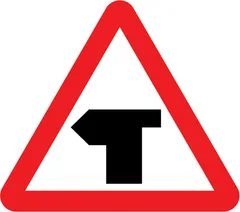
T-junction ahead (left) -
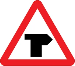
T-junction ahead (right) -
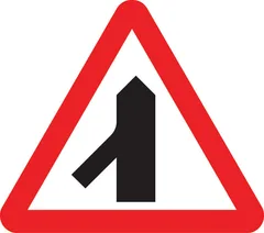
Traffic merges ahead from the left -
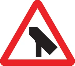
Traffic merges ahead onto main carriageway from the left -
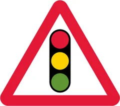
Traffic signals ahead -
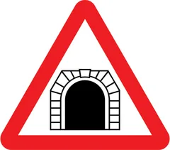
Tunnel ahead -
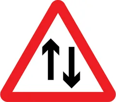
Two-way traffic -
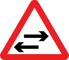
Two-way traffic on route crossing ahead -
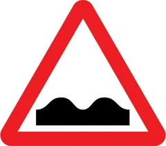
Uneven road ahead -
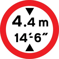
Vehicles exceeding height indicated are prohibited. Height is displayed in both metric and imperial units -
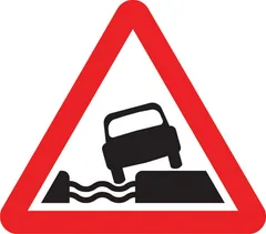
Water course alongside road ahead -
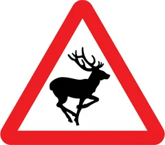
Wild animals likely to be in road ahead -
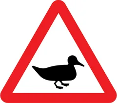
Wild fowl likely to be in road ahead -
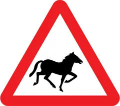
Wild horses or ponies likely to be in road ahead -
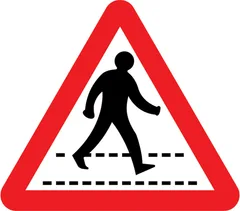
Zebra crossing ahead -
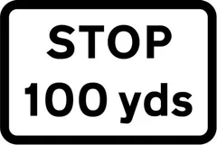
100 yards to a junction ahead controlled by a STOP sign -
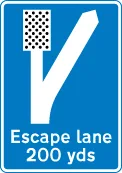
200 yards to escape lane ahead for vehicles unable to stop on a steep hill -
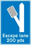
200 yards to escape lane to the left for vehicles unable to stop on a steep hill -
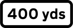
400 yards ahead to hazard -
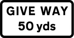
50 yards to junction ahead controlled by a GIVE WAY sign -
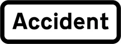
Accident ahead -
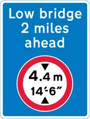
Advance warning of a mandatory height restriction ahead -
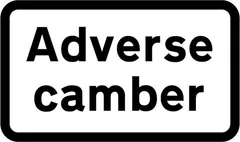
Adverse camber on a bend or roundabout -

Agricultural vehicles likely to be in road ahead -
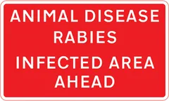
Area infected by animal disease ahead -
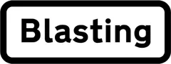
Blasting danger ahead -
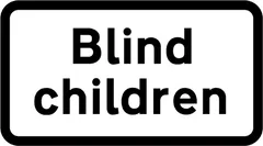
Blind children likely to cross road ahead -
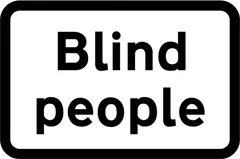
Blind pedestrians likely to cross road ahead -
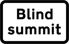
Blind summit ahead -
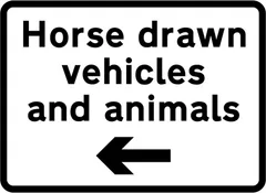
By-pass of cattle grid for horse drawn vehicles -

Children's playground ahead -
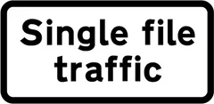
Convergence of traffic to a single file in each direction -
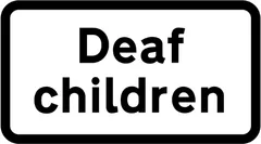
Deaf children likely to cross road ahead -
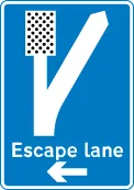
Direction to escape lane ahead for vehicles unable to stop on a steep hill -
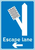
Direction to escape lane to the left for vehicles unable to stop on a steep hill -
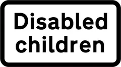
Disabled children likely to cross road ahead -
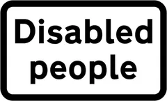
Disabled pedestrians likely to cross road ahead -
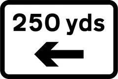
Distance and direction to hazard -
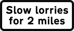
Distance over which slow moving vehicles likely to be encountered ahead -
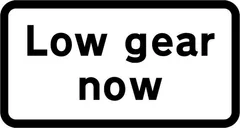
Drivers should engage low gear for steep hill -
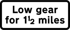
Drivers should keep in low gear for 1.5 miles -
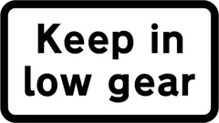
Drivers should keep in low gear for steep hill or tight bend -
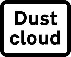
Dust cloud danger ahead -
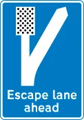
Escape lane ahead for vehicles unable to stop on a steep hill -
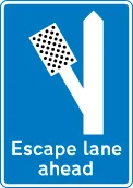
Escape lane to left for vehicles unable to stop on a steep hill -
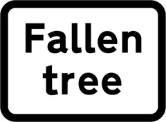
Fallen tree ahead -
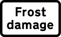
Frost damage ahead -
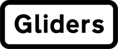
Gliders likely ahead -
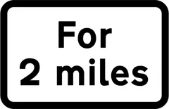
Hazard or prohibition extends for 2 miles -
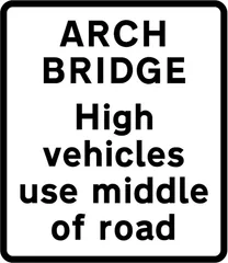
High vehicles to use middle of road at arch bridge ahead -
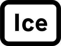
Ice ahead -
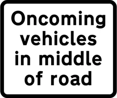
Large vehicles likely to be in middle of road because of narrowness of carriageway -
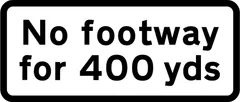
No footway for 400 yards -
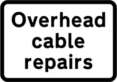
Overhead cable repairs ahead -
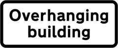
Reduced headroom over part of road due to overhanging building ahead -
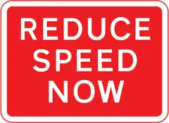
Reduction in speed necessary for a change in road layout ahead -
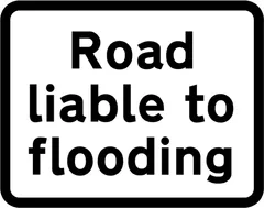
Road liable to flooding ahead -
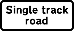
Road only wide enough for one line of vehicles -

School ahead -
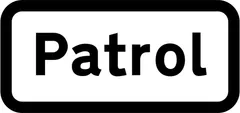
School crossing patrol ahead -
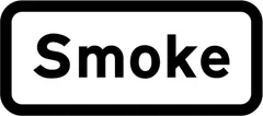
Smoke danger ahead -
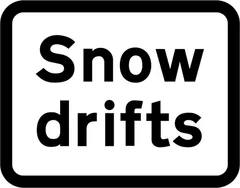
Snowdrifts ahead -
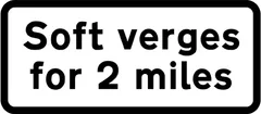
Soft verges for 2 miles -
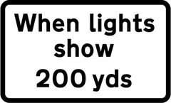
Supervised cattle crossing 200 yards ahead -
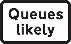
Traffic queues likely on road ahead -
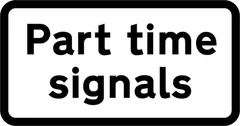
Traffic signals ahead that only operate at certain times -
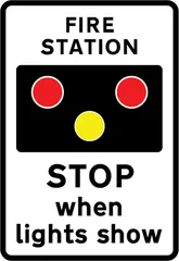
Warning of light signals in the vicinity of a fire station
Ready to test yourself on road signs?
The free road signs quiz uses the same official artwork, with an explanation for every answer. Revise the rules behind them in our Road & Traffic Signs guide.
Start the road signs quizFrequently asked questions
How do you recognise warning signs?
Warning signs tell you about a hazard ahead so you can slow down and prepare. Most are triangles with a red border and a black symbol on white. A plate underneath may give the distance to the hazard or how far it continues. Treat every warning sign as a cue to check your speed and position.
Do warning signs come up in the theory test?
Yes. Signs appear throughout the theory test, mainly in the Road & Traffic Signs topic and also in topics such as Road & Traffic Signs. Practise with our free questions until you can read each sign from its shape and colour.
Which other road sign categories should you learn?
Traffic sign images: Crown copyright, Department for Transport. Reproduced under the Open Government Licence v3.0. Licence · Source.